An experiment with GPS tracks and waypoints
Several years ago after returning from a trip, one of my
grandchildren asked where I had been. He said
that he could look at the photos on my web site, but had no idea where these
photos were taken. I thought a bit and decided to help by adding a map that
indicated where I had visited. Then on one trip, a friend showed me a
small GPS unit and I thought, hmmmm, this is the way to solve the "where were
you" problem. I'll take a portable GPS with me and try to record the
tracks of flights, driving, bicycling, ferry trips and motorcycling
and then plot these on maps.
Garmin provides a nice CD with maps that change this challenging task into
something simple. Now my grandchildren know where I visit and are learning
some geography. (For an example, I made a map of the Gingee region of
Tamil Nadu with GPS strapped to the handles of a motorcycle. I rode up and
down roads, letting the gps do the work and stopping at key points to record
a waypoint.
(see Valathi project map)).
Since I started including the maps and GPS tracks on some of my
photo essay
web pages, several people have requested specific GPS information.
Since these tracks and waypoints seem to be of increasing interest, I have
decided to make them available here, with a challenge to young learner - that
of discovering how to plot the tracks and overlay the plot on the appropriate
map segment. My goal is to increase awareness of our world from a geographic
perspective and challenge folks to take my information and make something
of it that is better than what I present.
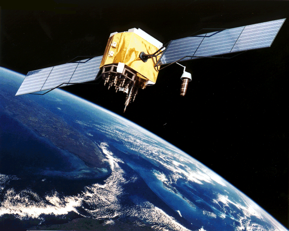
GPS (Global Positioning System) is a very clever way to measure ones
location based on signals from several satellites. I say clever because
there are some tricks used to establish the times associated with signal
transmissions from different satellites. Here is an image of one of the
GPS satellites.
GPS Block IIF Spacecraft
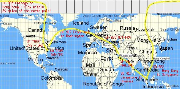
Here is an example of plotting GPS tracks on a map - charting our flight
from Charleston SC (USA) to Chicago to Tokyo to Singapore to Chennai to
Bahrain to Muscat to Frankfurt to Washington to Charleston.