Photo Adventures with Curiosity and Learning
This time, the flight path maxed out at lat: 87.649861, long: 11.74 at 10:36:05 UCT. We crossed 6 time zones from longitude -45 to +45 between 10:09:40 and 10:47:09, or about 37 min. The actual flight path passed from Longitude -74.173578 at Newark to Longitude +103.985439 at Singapore, or 188 degrees. This is the detailed flight path - as I returned home
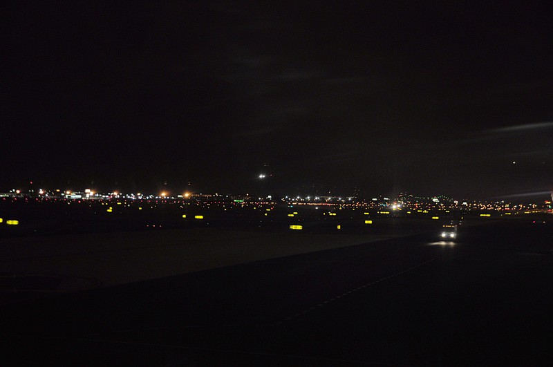
Some low light photos - aircraft landing
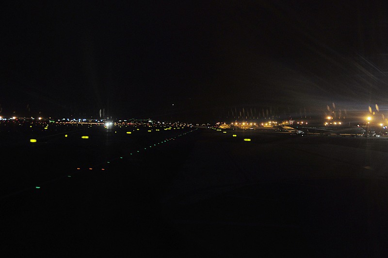
The taxiway
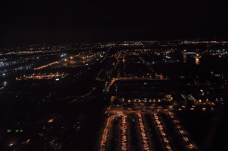
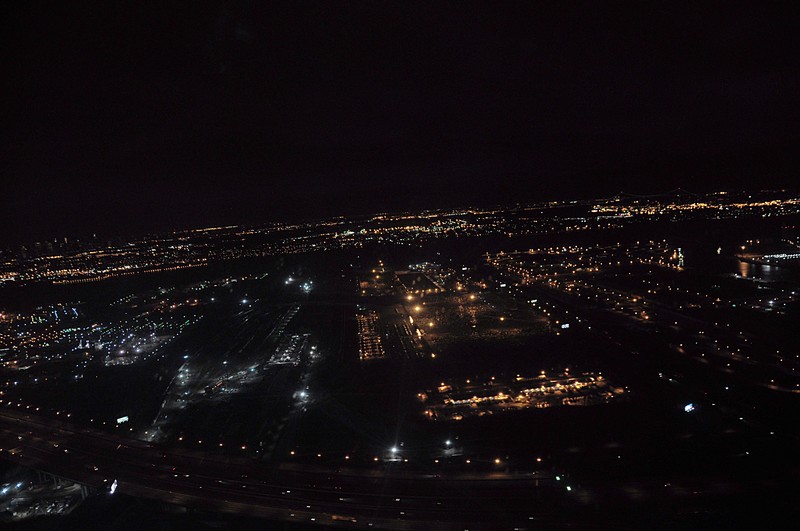
Taking off - to the North, so this time, we did not pass along New York City. Frequently in the past, we takeoff to the south and 'ake a left turn and follow the Hudson river a bit.
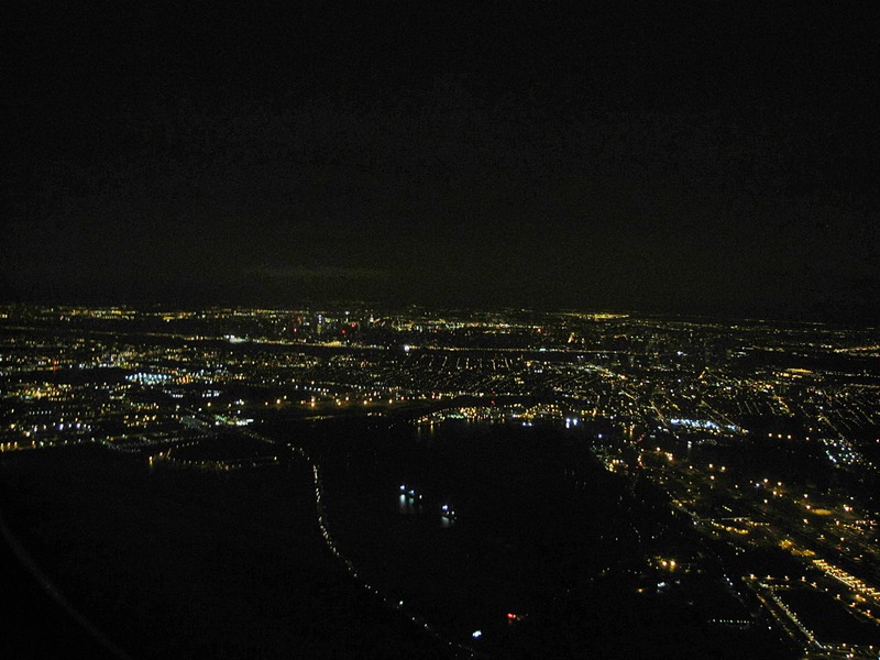
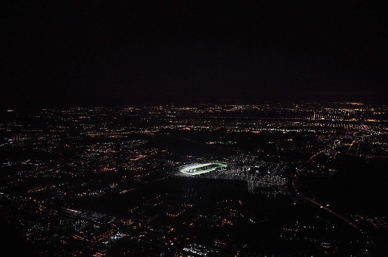
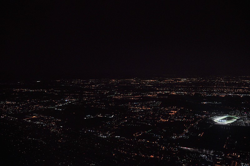
A racetrack

This work is licensed under a Creative Commons License.
C. Frank Starmer