Photo Adventures with Curiosity and Learning
- GPS tracks - Geography for grandkids
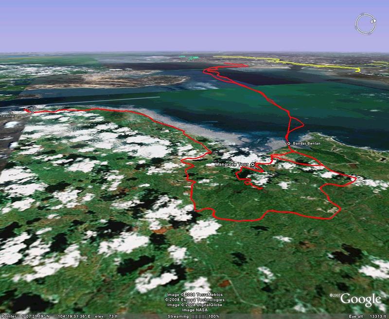
- GPS tracks to and from Bintan Click to see in Google Earth
- GPS track file (feb_08_bintan.gpx)
- Somthine about the colors
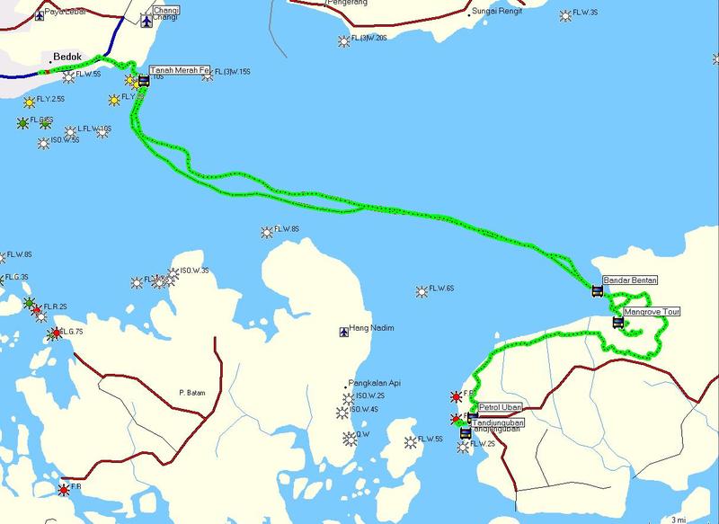
- Green is the route from Tanah Merah to Bintan as well as our trip up the mangrove river.
- Red is the return route as well as our ride to Tanjunguban
How we got there - A flat map
and plotted with Google Earth
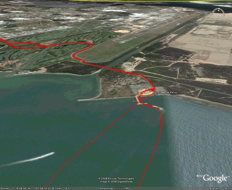
The juxtaposition of Changi Airport and the Tanah Merah Ferry Terminal
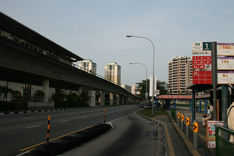
The beginning - Ellen waiting for Bus 35 at the Tanah Merah MRT station
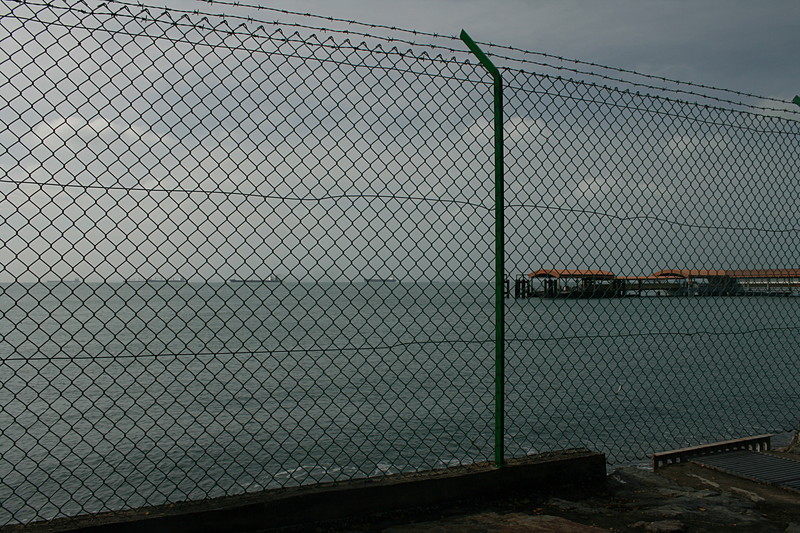
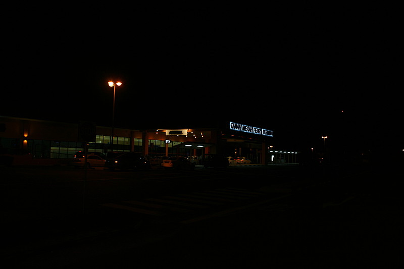
The Tanah Merah Ferry Termina

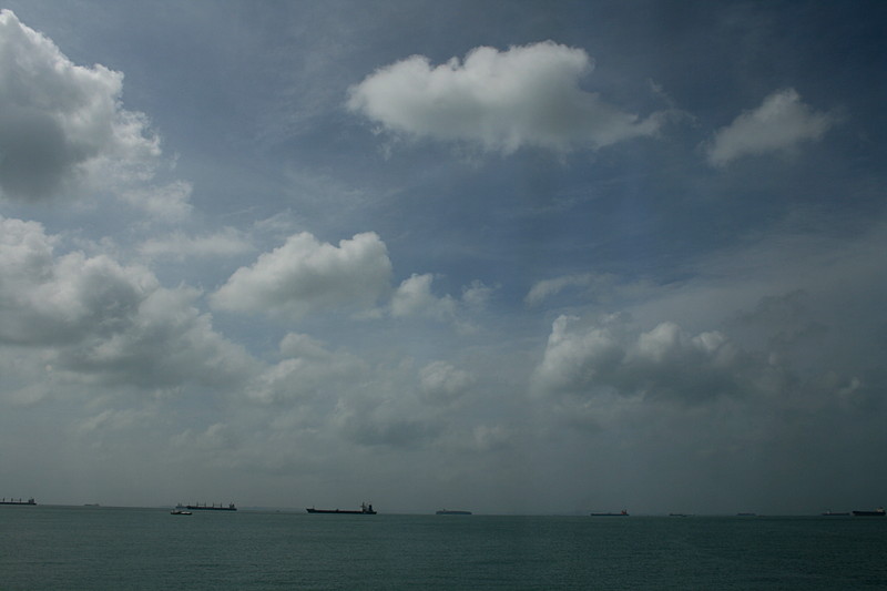
Tankers queued for Singapore
Tankers
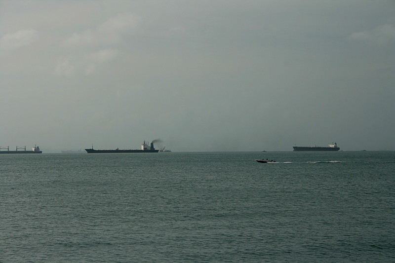
More tankers
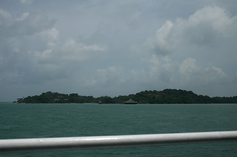
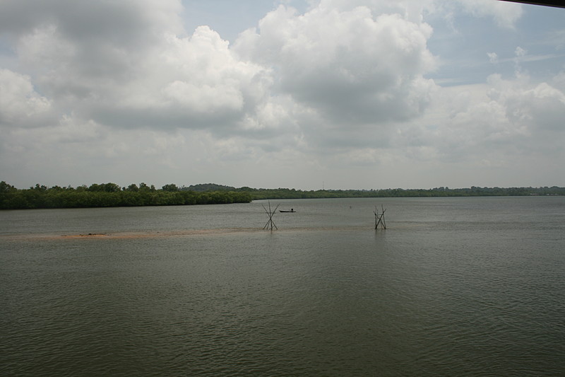
Arriving at Bintan
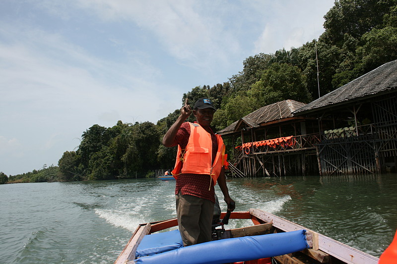
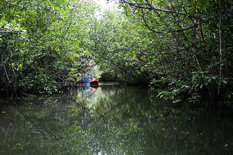
The start of the mangrove river boat adventures
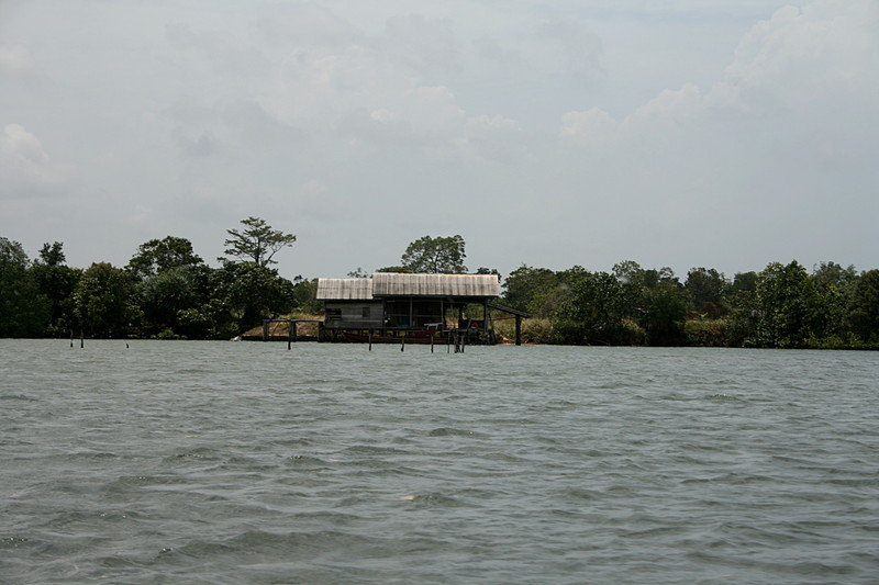
A river hut
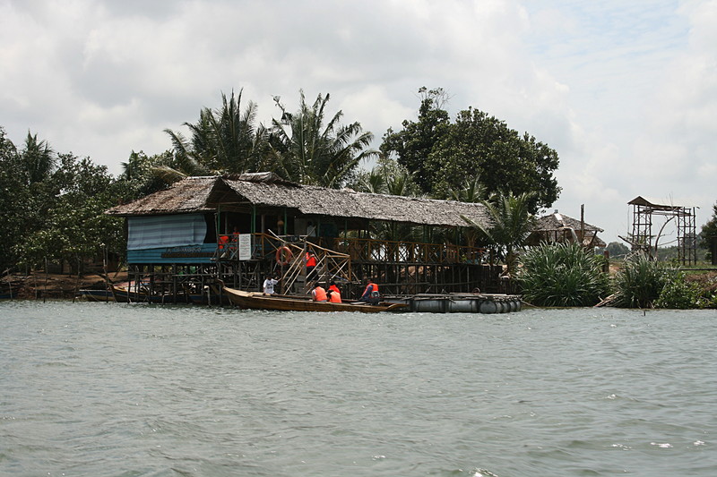
THe Mangrove Tour Headquarters
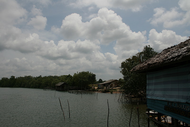
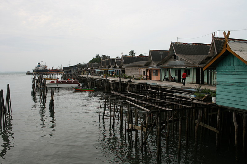
River homes
The river
A sleeping python

A fisherman
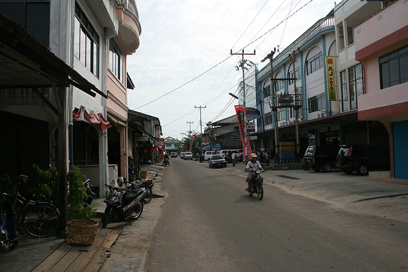
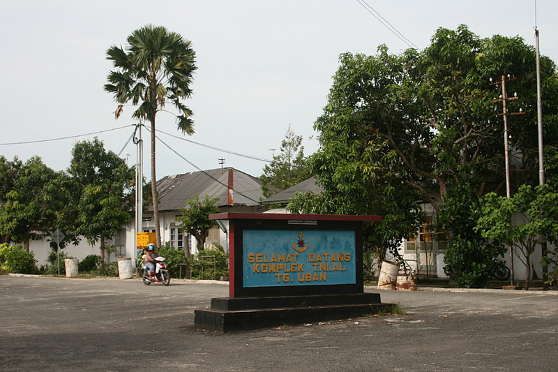
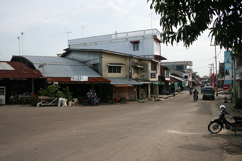
Tangung Uban street
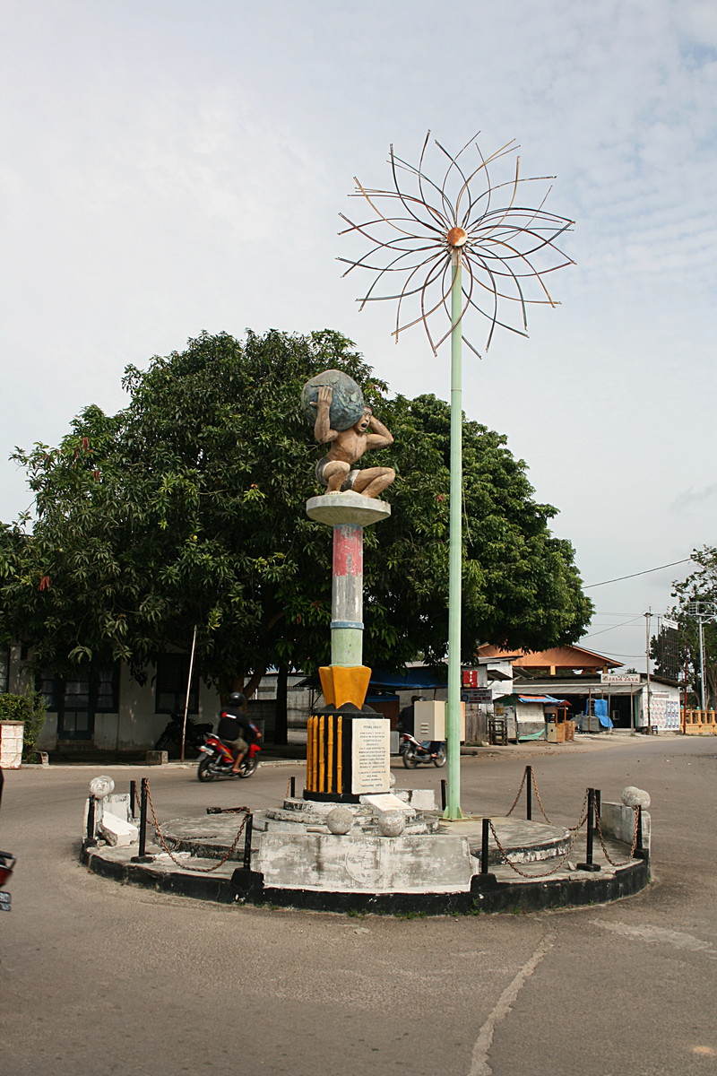
Atlas Shrugged
This is Tangung Uban
Rainbow Row - as in Charleston SC.
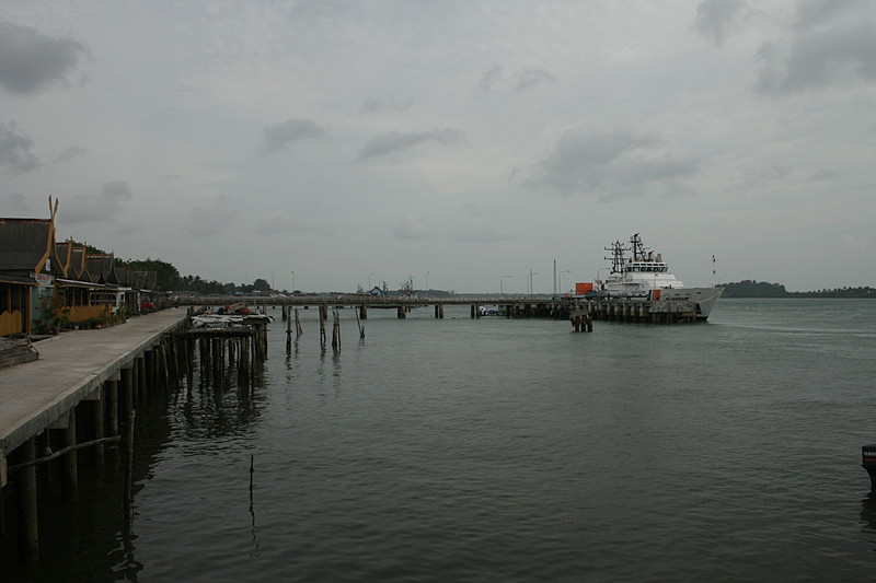
Coast Guard
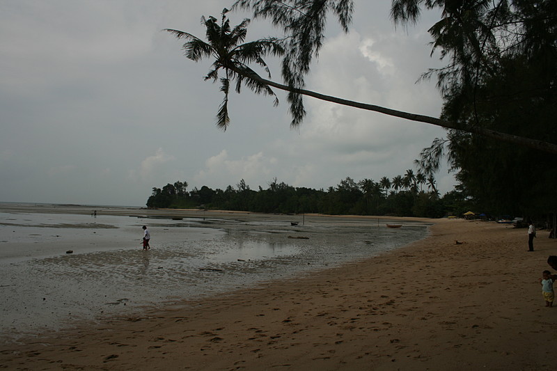
Beach
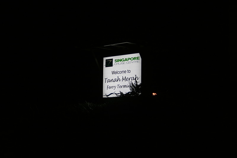
Singapore Cruise Centre
The end at the bus stop - waiting for Bus 35

This work is licensed under a Creative Commons License.
C. Frank Starmer